June 30, 2024
In
Outdoor Edventures
Windtower Mountain
Where:
- Windtower
When:
- June 29, 2024
Who:
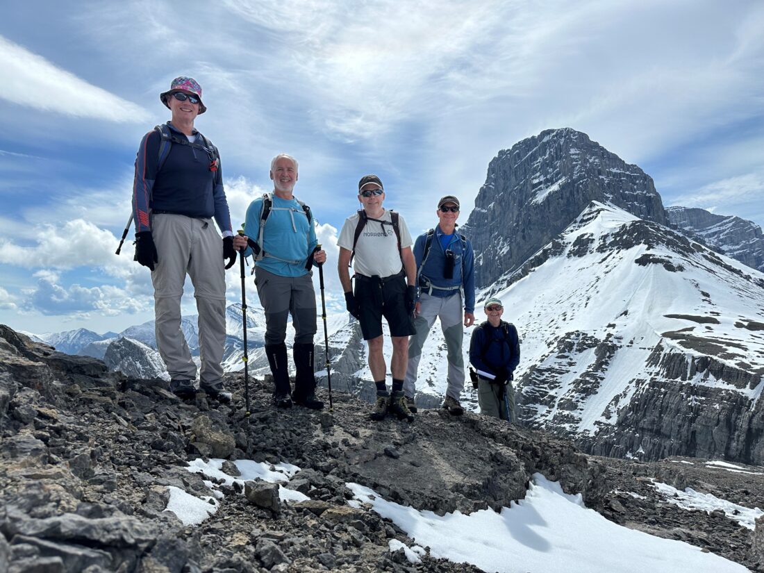
- Ed, Dave, Craig, Roger, Oak, Peter
Trailhead:
- 18 km from Canmore heading south on the Spray Lakes Road
- park on the right-hand side of the road, then cross the road
- a few minutes up the trail, it crosses the High Rockies biking trail, where you turn left and then take a quick right up a steep incline
- at the pass, there is a trail to the right that crosses several rock cliffs through the treeline until you turn left for the grunt straight to the summit

Degree of difficulty:
- 975 meters of elevation gain
- 10 km
- the trail starts as a steady but not severe uphill for 3 km to West Wind Pass, which takes about an hour
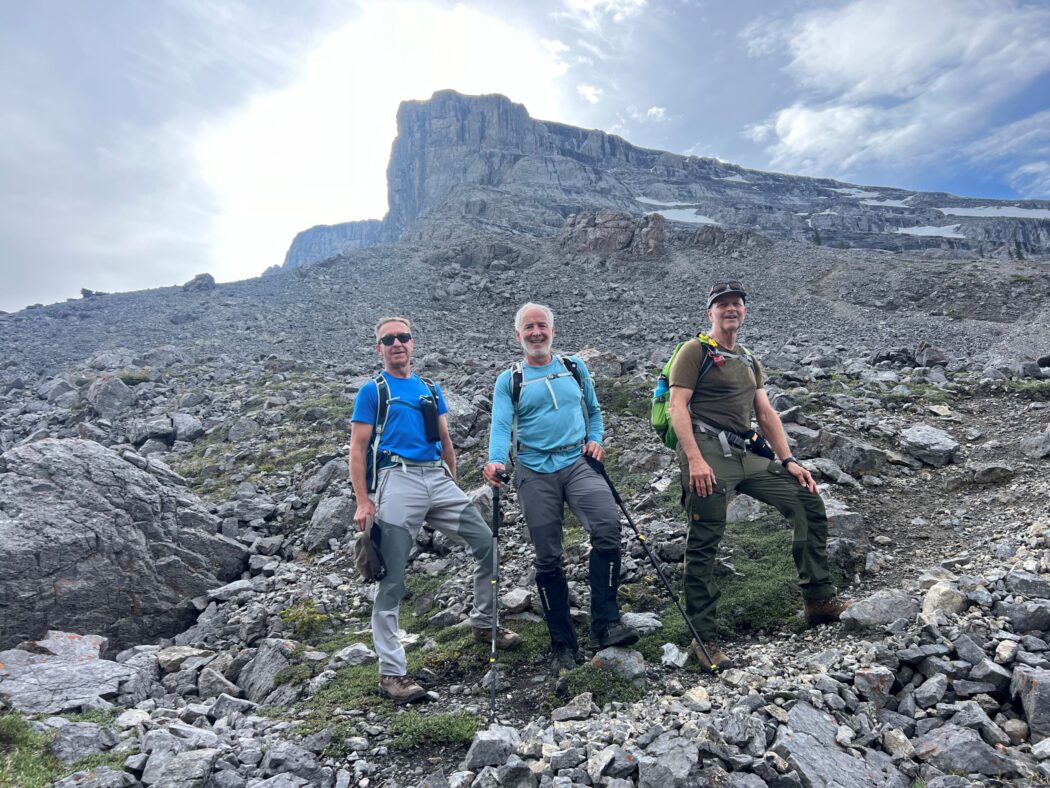
- from West Wind Pass to the scree slope on Windtower, can be quite challenging as it involves some scrambling
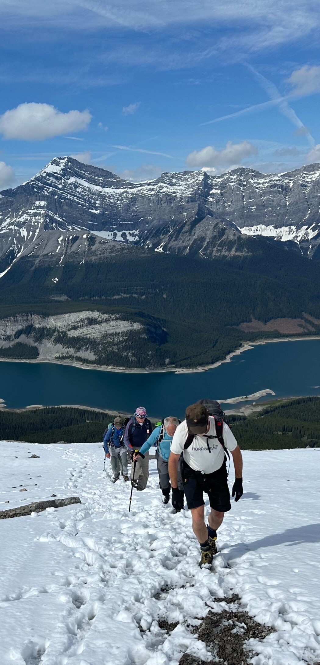
- the stretch from the treeline to the summit is a steady incline on a very open slope
- the hike took us just over five hours

Interesting notes
- the hike offers amazing views of Rimwall, Wind Pass, Mount Lougheed, Pigeon Mountain, Mount Nestor, Centennial Ridge and many other mountains in the Spray and Bow Valleys
- this was our first time doing Windtower despite looking at the ominous climb on our many hikes up West Wind Pass
- the name Windtower comes from the typically excessive wind at the top


