September 22, 2024
In
Outdoor Edventures
Sparrowhawk Tarns Hike
Where:
- Sparrowhawk Tarns
When:
- September 21, 2024
Who:
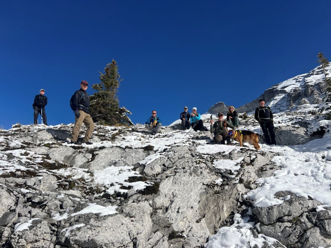
- Ed, Dave, Erin, Oak, Chris, Winnie, Neil, Rod, Roger, Carolyn
Trailhead:
- the trailhead is on the Spray Lakes Road and is 23 km south of Canmore
- the trailhead is not marked, and the trail starts on the east side of the road across from the entrance to the Sparrowhawk Day Use Area
- the faint trail angles 45 degrees to the right across an embankment into the trees

Degree of difficulty:
- 600 meters of elevation gain and 10 km distance to the spot overlooking the first tarn on the left side of the valley
- the new trail starts with a gentler climb than the old one as they carved a new trail to allow the bikers to access the High Rockies trail
- after a short distance, the trail crosses the High Rockies biking trail, so be careful to continue straight up the mountain
- a little further along there are markings (.9 km into the hike) where you turn to the right as the straight-ahead trail leads up to Read’s Ridge and Tower
- after the initial climb, the trail rolls through the trees with the creek on the right at times until you exit the trees and come to a vast open rock area
- at this point, there are trails on the far right (our typical route) or the far left (not recommended) that both take about a half-hour to get up to the upper cirque
- be careful with your footing walking up this rock field, and try to follow the cairns to stay on the path
- we had some fresh ankle deep snow, which made it a bit challenging on the footing and to follow the trail
- the hike took us 4 hours, and we moved at a fairly leisurely pace

Interesting notes:
- this trail is a good one for larch trees as there were only about ten other people on the trail
- the larch trees were an unripe banana color as the warmer summer pushed back the full bloom by about ten days
- the hike is very scenic once you exit the trees and enter the upper valley, where marmots typically abound in the beautiful rock field but there were none on this day for some reason
- there are also some interesting rocks with lichen and other features that we were not able to discern
- the area is flanked by Mount Sparrowhawk, Read’s Ridge, Red Mountain, Mount Bogart, and Mount Buller
- at the top of the valley, you can look back for a picturesque view of Spray Lakes and Mount Nestor across the valley
- the tarns in the upper valley will vary in the amount of water depending on the season
- Sparrowhawk Mountain was in the running for the site of the 1988 Winter Olympics ski venue
- the mountain was named in 1917 for HMS Sparrowhawk a British destroyer that sank in WW1 during the Battle of Jutland
- this trail is also used to access Read’s Ridge and Read’s Tower


