November 5, 2022
In
Outdoor Edventures
Rimwall Hike
Where:
- Rimwall
When:
- November 5, 2022
Who:
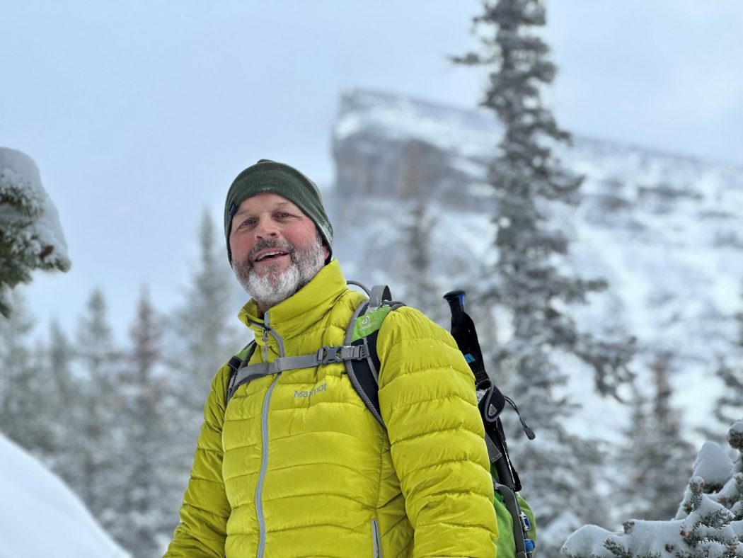
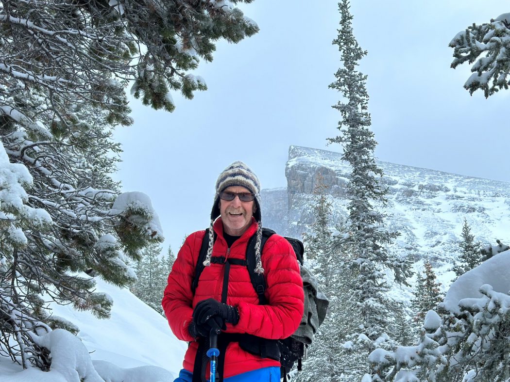
- Ed, Craig, Oak
Trailhead:
- 18 km from Canmore, heading south on the Spray Lakes Road
- park on the right-hand side of the road, then cross the road
- this is the same trailhead as West Wind Pass and Windtower
- a few minutes up the trail, it crosses the High Rockies biking trail, so be sure to look for the sign that points to the trail up West Wind Pass
- the turn off the West Wind Pass trail onto Rimwall is about a km up the trail and is not well marked, so it’s best to use your GPS
- we meandered virtually straight up, following faint depressions in the snow and constantly checking out GPS to stay close to the trail

Degree of difficulty:
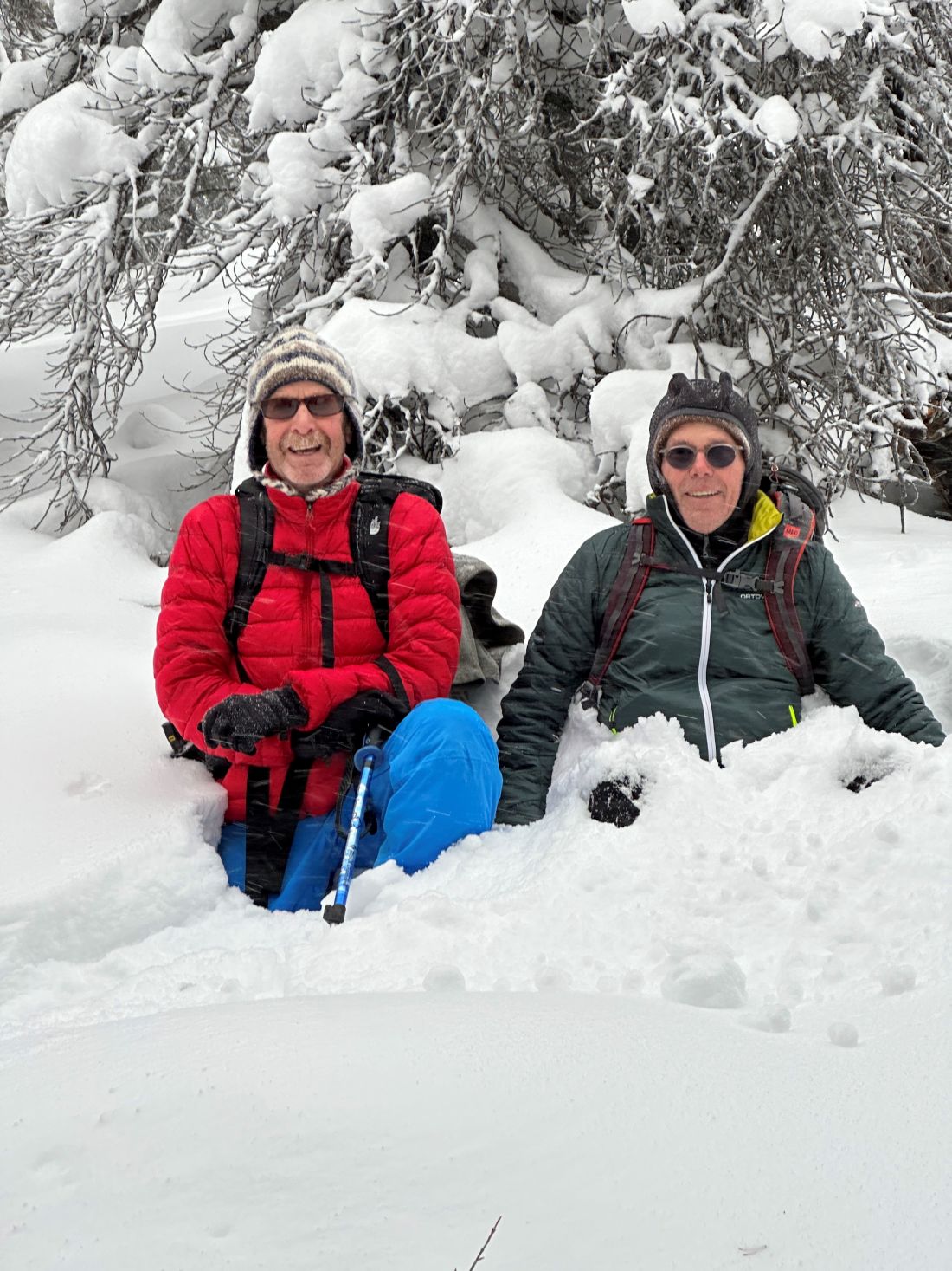
- we grunted our way through what went from ankle-deep to waist-deep snow and stopped just before the tree line
- 900 meters of elevation gain (we did 400 meters)
- 7.5 km out and back (we did 3.5 km)
- the hike took us two and a half hours
- the trail starts out as a gentle but steady climb until you turn off the West Wind Pass up Rimwall, where it becomes much steeper
- we put our grippers on at the start, which turned out to be a smart move

Interesting notes:
- it was a last-minute decision to test out part of this trail that we’ve been pondering for a while
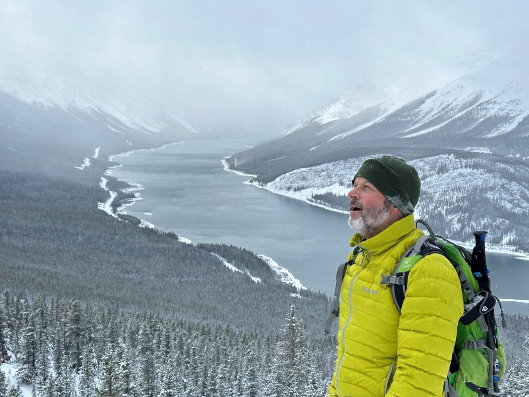
- there are great views through some breaks in the trees looking south to Spray Lakes and the surrounding peaks such as Windtower, Mount Lougheed, and Little Lougheed
- we plan to head back in the spring after the snow melts to get to the summit
- we only encountered three other people who were wending their way up the main trail en route to Windtower


