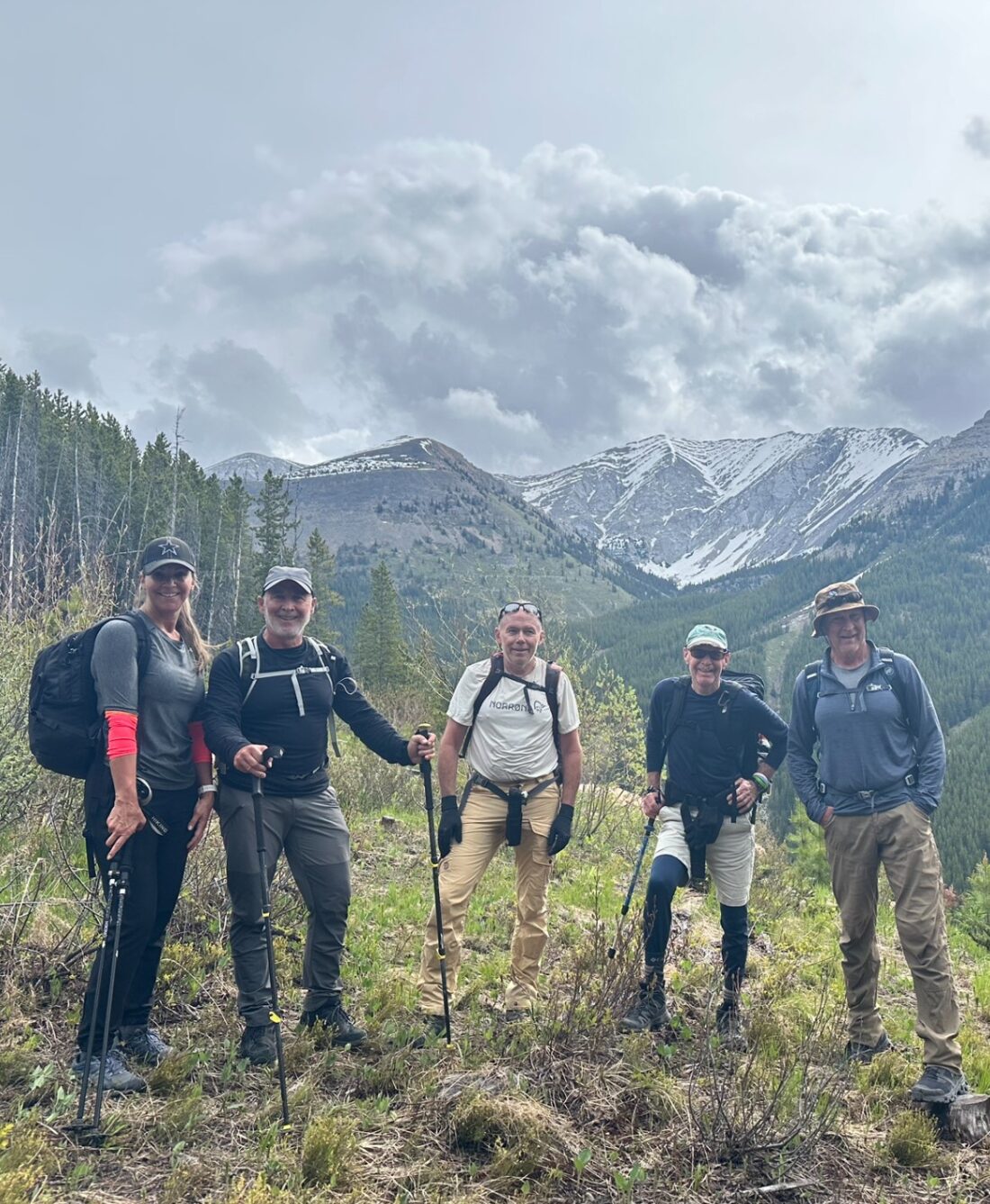
June 16, 2024
In
Outdoor Edventures
Old Baldy Ridge Hike
Where:
- Old Baldy Ridge
When:
- June 15, 2024
Who:
- Ed, Dave, Erin, Craig, Oak, Rod
Trailhead:
- 27 km south of Highway 1 on Highway 40
- park in the Evan Thomas Day Use Area (east side of the road)
- the trailhead is on the right hand side near the end of the parking lot by the washrooms
- after 1.8 km, you reach a fork where you take the left hand turn to keep heading east
- after about .4 km and just before the creek, two cairns mark the turn up the ridge
- along McDougall Creek, you will start walking along the base of the ridge
- flagging tape will denote the best time to start heading up the ridge
- keep following the ridge until you come upon a small boulder field which you cross to gain the spine of the ridge
- at the ridge side of the wide plateau at the summit, you can descend at the col to the lake and return on the creek side (essentially doing the loop clockwise)

Degree of difficulty:
- 950 meters of elevation gain
- 14 km
- the trail starts very flat for the first 2 km and then ascends steeply
- the hike took us six hours

Interesting notes:
- this was our first time doing this trail, and it offered some significant technical challenges, including snow at the summit and along part of the valley, as well as several creek crossings on tricky footing
- six hours is the longest hike we have ever done as we were slowed by the snow and some route finding challenges
- there are beautiful views of Volcano Ridge, McDougall Peak, Opal Range, Wedge Mountain, Fortress Mountain, Mount Kidd, Mount Bogart, Mount Allan, Sparrowhawk, Old Baldy and the Kananaskis Valley
- the name Old Baldy originates from the bald nature of this and the sister mountain range to the north


