November 2, 2024
In
Outdoor Edventures
Mount Burns East Peak Hike
Where:
- Mount Burns East Peak
When:
- November 2, 2024
Who:
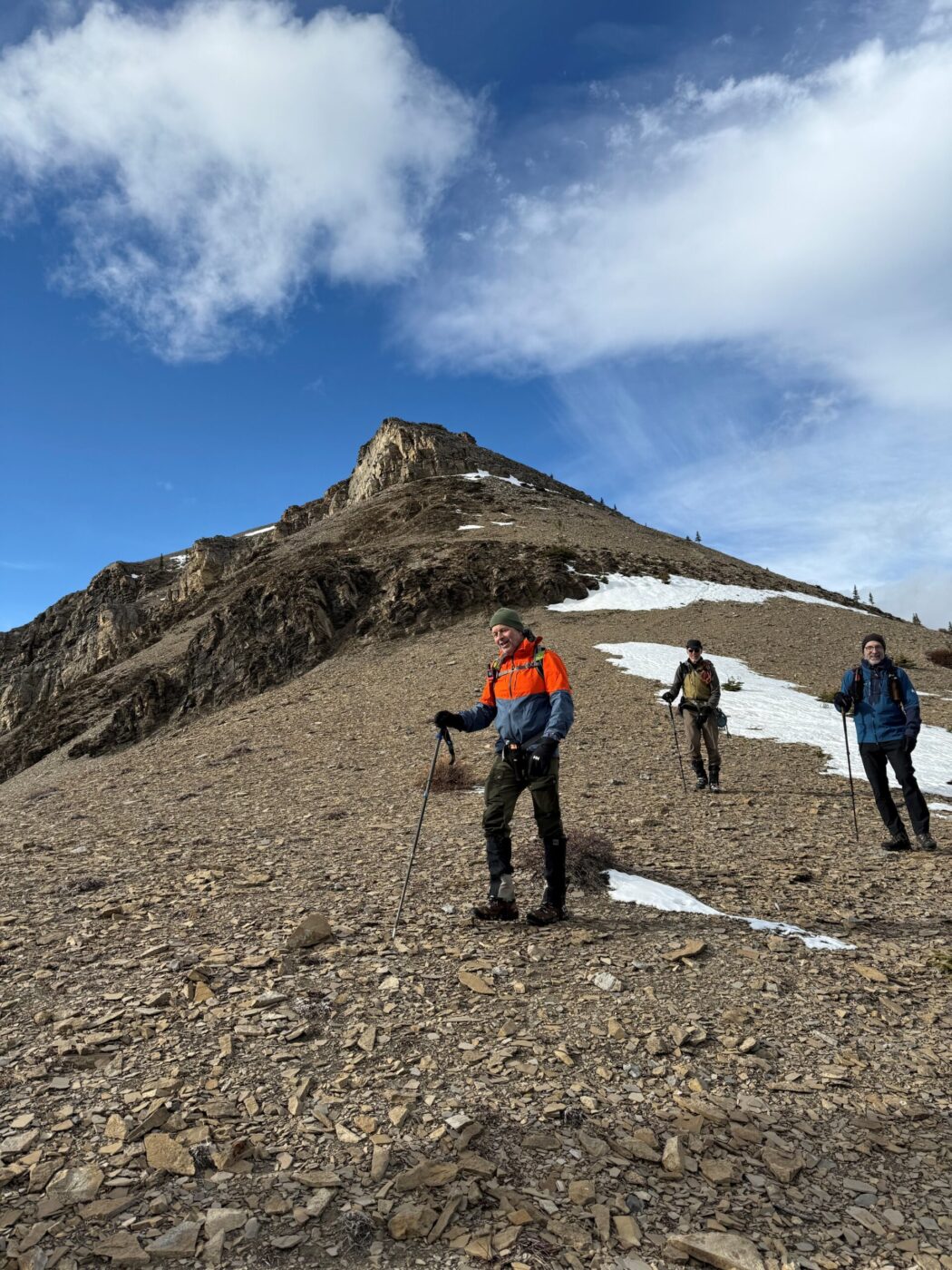
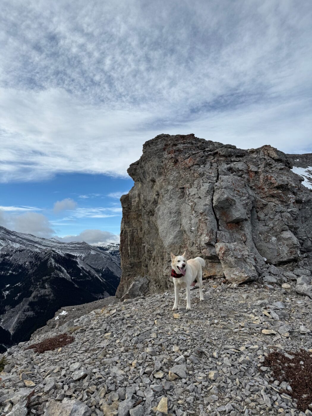
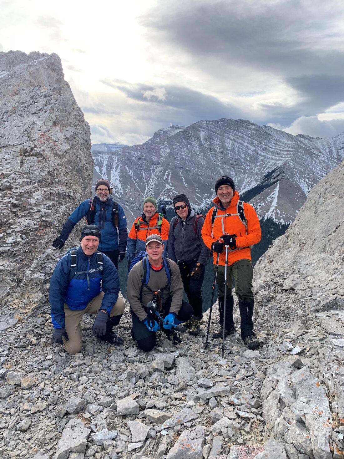
- Ed, Craig, Rod, Dave, Neil, Chris, Winnie, Kim, Kuma
Trailhead:
- Sheep River Trail trailhead
- 38 km (35 minutes) west of Turner Valley on Highway 546 at the end of the road
- the trail starts out of the northwest end of the parking lot along the dirt road
- after a short distance, there is a faint, unmarked trail to the right through the trees that is hard to follow until you get to another dirt road
- after a short distance along this road, there is a trail on the left hand side that is a bit more obvious and starts to climb steeply through the trees, where you can follow pink ribbons until you get above the treeline
- above the treeline, the trail is fairly easy to follow to the summit

Degree of difficulty:
- 750 meters of elevation gain to the last ridge before the final ridge that leads to the climb up and around Mount Burke
- 10 km round trip
- there is some moderate scrambling depending on the line you take on the ridge
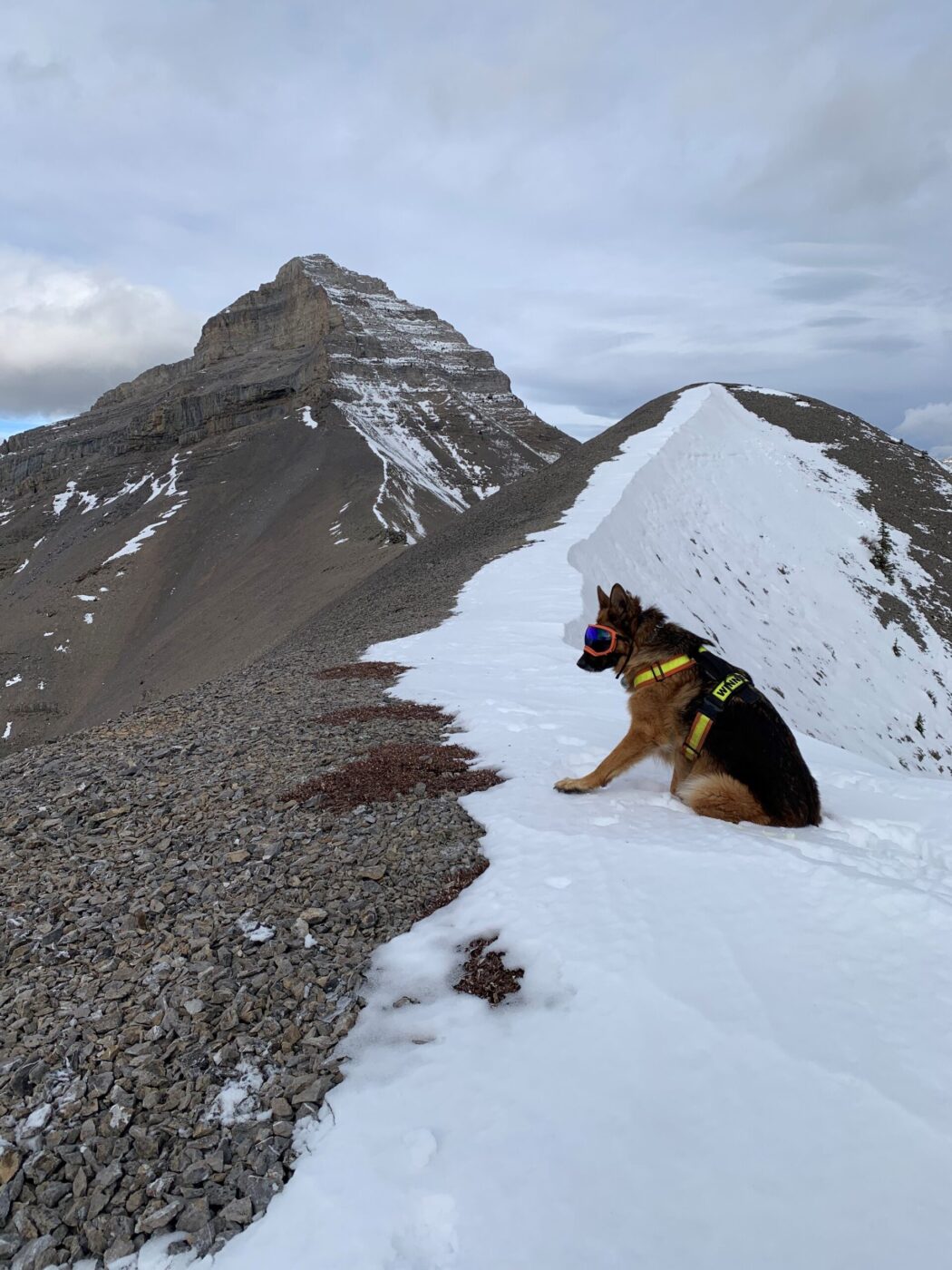
- the trail would become very challenging once you reach the base of Mount Burke
- the hike took us 4 hours

Interesting notes:
- the trail is not very well known, and there were no other hikers on the trail
- this was our first time doing this trail (other than our guides, Chris and Winnie), and it was very enjoyable
- it can be quite windy on the wide open ridge, but not on this day
- the 360 views above the treeline are spectacular
- the area is surrounded by Shunga-la-she, Jagermeister, Gibraltar, and Bluerock Mountains
- East Mount Burns is named after Pat Burns who was the proprietor of a nearby mine


