December 29, 2020
In
Outdoor Edventures
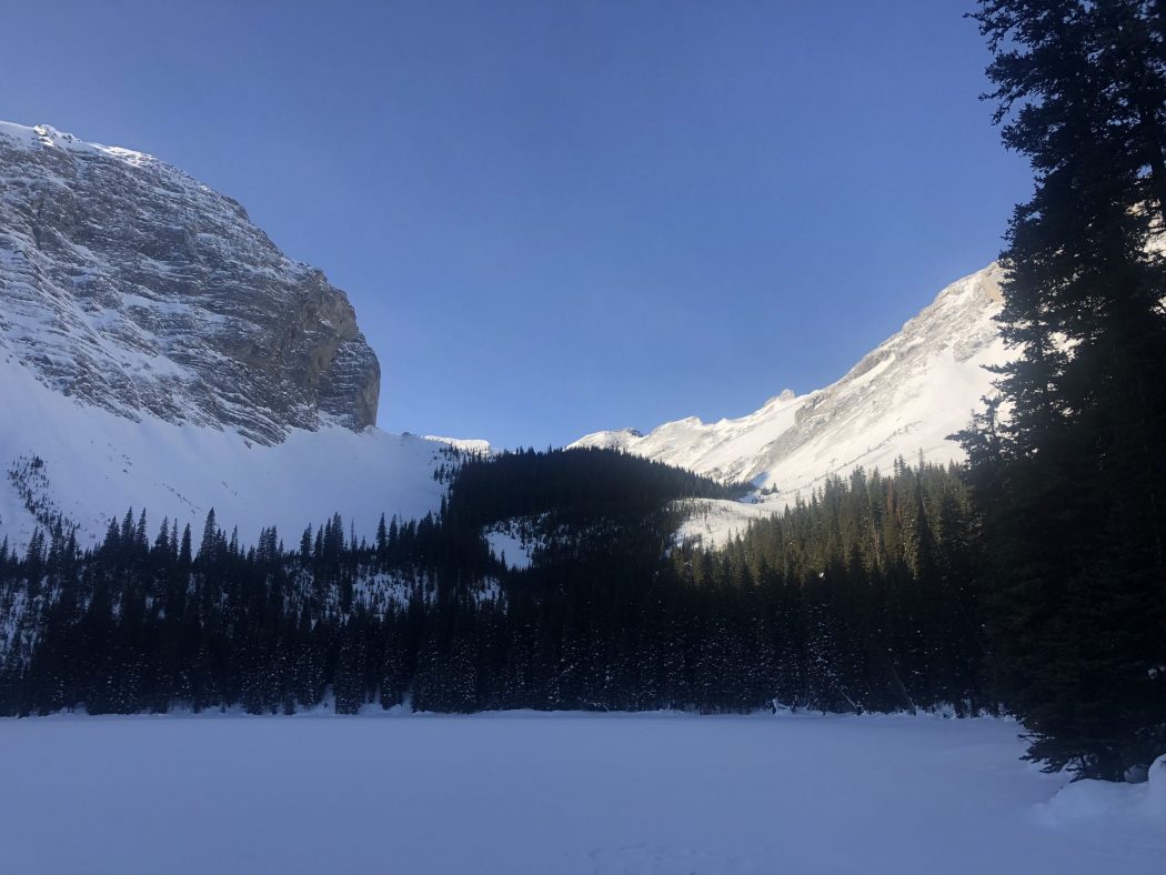
Lillian Lake Winter Hike
Where:
- Lillian Lake
When:
- December 29, 2020
Who:
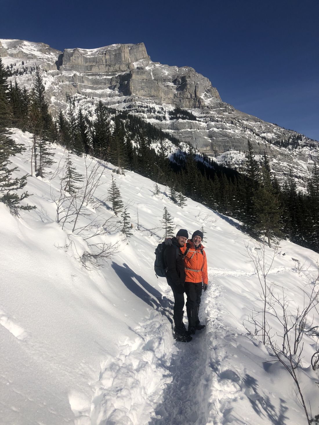
- Ed, Craig, Dave, Phil, Keri
Trailhead:
- an little over an hour drive from Calgary and a 45-minute drive from Canmore
- heading south on Highway 40 for 33 km, and the parking lot is on the right-hand (west) side about 3 km past the turnoff for the Kananaskis Golf Course (Galatea sign on the right-hand side of the highway)
- the trail starts out downhill (not fun at the end of the hike) and crosses a bridge about a half km along the trail where you take a left turn at the junction (it is well marked)

Degree of difficulty:
- 600 meters elevation
- 12 km round trip to Lillian Lake
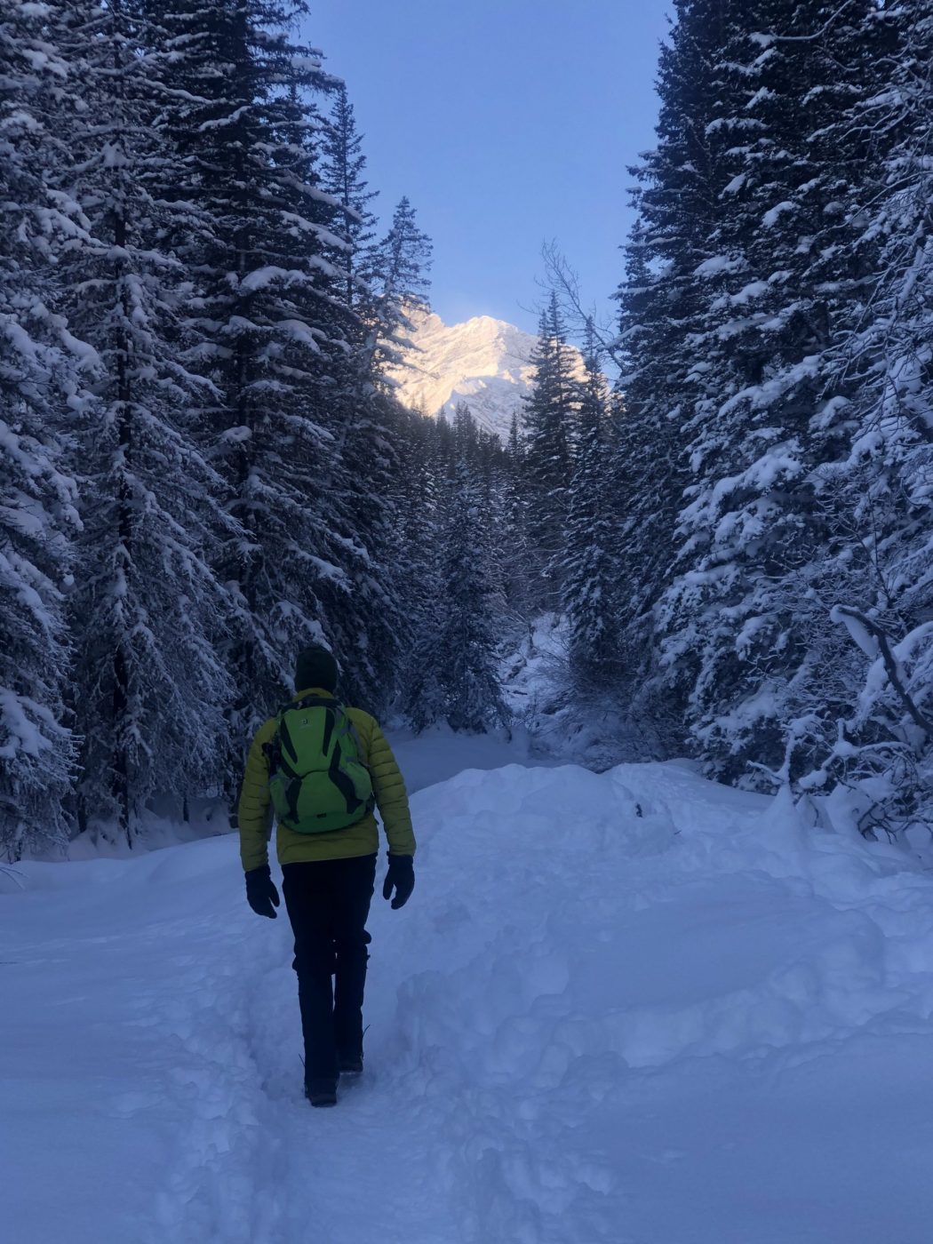
- the trail was packed down, so we chose to forego the snowshoes, and we were fine in our winter boots
- the hike took us three and a half hours
- a moderate trail for most of the way except for a steady climb for the last 2 km before Lillian Lake
- if you go beyond Lillian Lake to Galatea Lakes, the trail is very steep

Interesting notes:
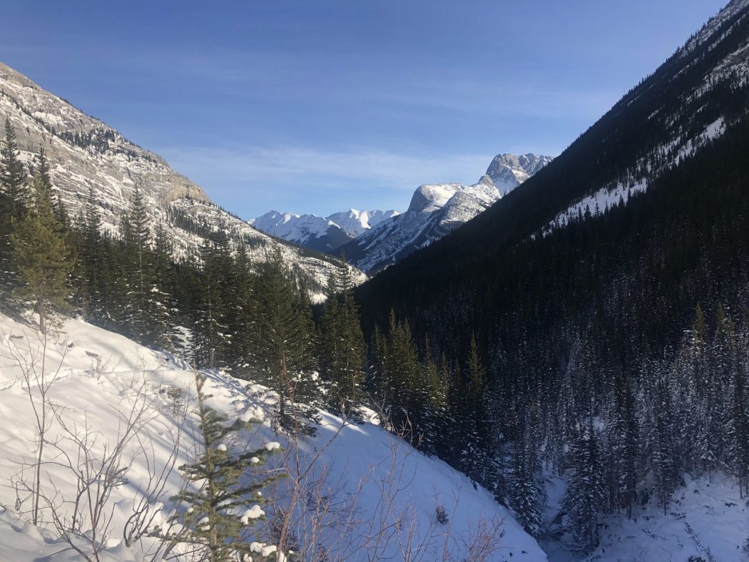
- despite a temperature of -17C, we were protected in the valley and enjoyed tremendous views during this bluebird day
- the initial forested part of the trail crosses several bridges along Galatea Creek where you witness the massive destruction from the 2013 flood
- there are some nice waterfalls and pools of water
- the trail is mostly in the trees but offers beautiful views of Limestone Mountain, Mount Kidd, The Tower, Mount Galatea, and Fortress Ridge
- the Lillian Lake trail can also be used to access Lost Lake (no trail marking, so I didn’t see where it cuts off into this trail) and Guinn Pass/Ribbon Lake (the turnoff was moved from near Lillian Lake to just before Lower Galatea Lake)
- it is not recommended to go beyond Lillian Lake in the wintertime as you get into dangerous avalanche terrain
- there is a campground at Lillian Lake with 17 campsites
- keep an eye out for the unique letter P shaped tree on your descent near the end of the hike


