February 18, 2024
In
Outdoor Edventures
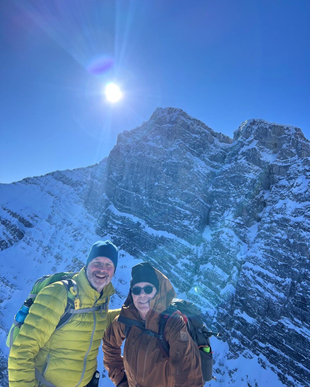
Ha Ling Peak Hike
Where:
- Ha Ling Peak
When:
- February 17, 2024
Who:
- Ed, Craig, Dave, Kellie, Erin, Lisa, Peter, Roger
Trailhead:
- 10 km (15 minutes) from downtown Canmore on the Smith Dorrien (Highway 742) road
- after you pass the lake at Whiteman’s Gap, the parking lot is on the right-hand side and is called the Goat Creek Day Use Area
- the trail starts across the road on a path that leads into the trail in the trees a hundred yards from the road

Degree of difficulty:
- 750 meters (we did an extra 100 meters by also summiting Miners Peak)
- 7.9 km (9 km adding on Miners Peak)
- 3.5 hours total time on the trail
- it took us just under 2 hours to get to the peak
- the trail was icy and slippery right from the start, so we had our spikes on the whole time
- it’s a steep hike right from the start, with switchbacks through the trees until the top just before the saddle
- the trail is well-maintained but becomes a light scramble after you reach the saddle
- a few years ago, three staircases were installed, which makes the final ascent to the saddle much easier
- the path to Miners Peak is easy to follow to the right along a ridge above an open bowl

Interesting notes:
- the first hour or so of the hike is in the trees, so it offers limited views other than a viewpoint looking across to the East End of Rundle
- at the saddle, you can turn right and head to Miner’s Peak, which is a bit easier and less crowded
- the trail offers views of numerous surrounding peaks, including Mount Rundle, Lady MacDonald, Grotto Mountain, Mount Lawrence Grassi, Pigeon Mountain, and Three Sisters
- this is generally a very busy trail, even in the winter, given its proximity to Canmore
- the naming of Ha Ling is very interesting:
Originally known as the Beehive, the mountain was renamed locally following the ascent of Ha Ling, a Chinese cook for the Canadian Pacific Railway in 1896. Ha Ling responded to a wager that said that he could not ascend the peak in less than 10 hours. He successfully summited the mountain, but when local residents refused to believe him, he returned to the peak with a party of onlookers and planted an enormous flag at the top, which could be seen from the town. The mountain was later officially named Chinaman’s Peak in his honor, but was renamed Ha Ling Peak in 1987 as this name was considered to be somewhat offensive.


