March 13, 2022
In
Outdoor Edventures
Cox Hill Ridge Hike
Where:
- Cox Hill Ridge
When:
- March 12, 2022
Who:
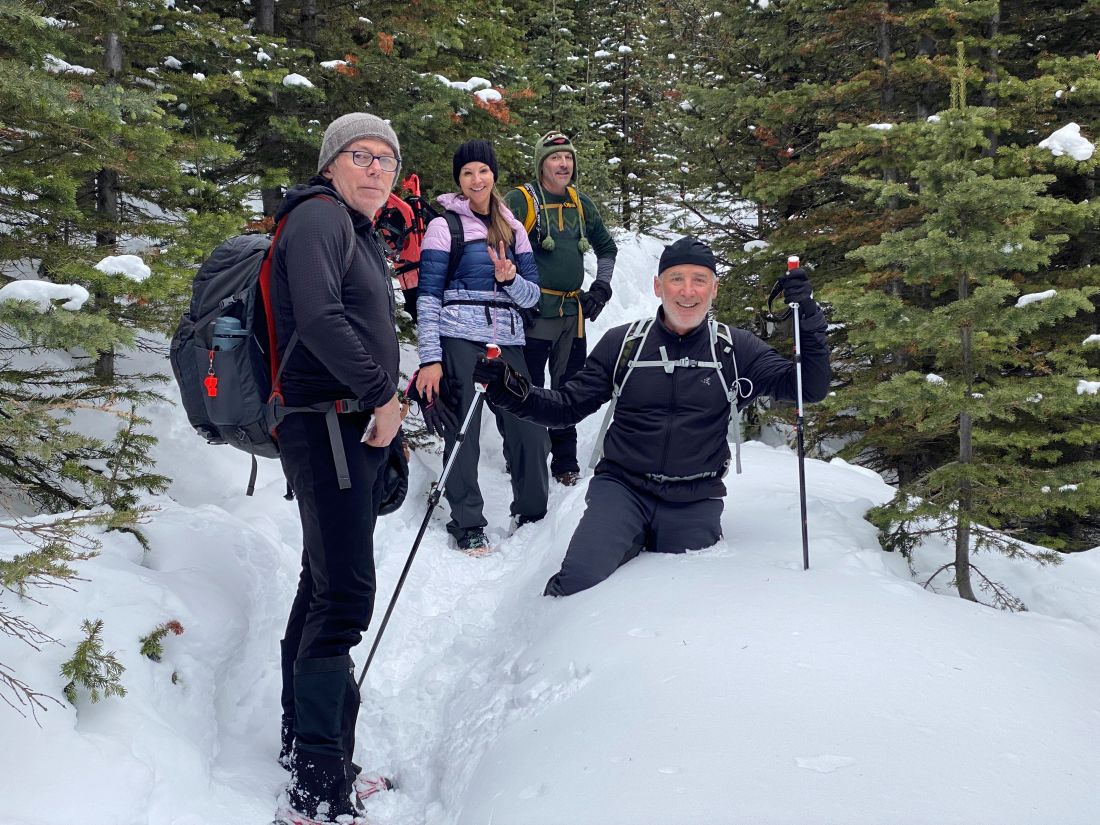
- Ed, Dave, Geoff, Lynn, Bailey, Craig, Oak, Peter, Kirk, Roger, Erin, Ian
Trailhead:
- coming from Calgary, take highway 68 (Sibbald Flats) south at the east side of Scott Lake Hill
- follow 68 south and southwest for about 20 minutes until reaching Powderface Trail
- turn south (left) and drive a short distance to reach the Dawson Equestrian Center
- from the parking lot, find the Tom Snow Trail near the entrance and follow it down to Jumpingpound Creek, where you’ll see plenty of evidence of the 2013 floods
- cross the river and look for the sign that says Coxhill Ridge Trail
- follow this trail all the way to the summit
- it’s steep and not that interesting early on, but eventually, you break out of the trees, and though it’s still steep going, at least the scenery is interesting

Degree of difficulty:
- 725 meters elevation to the first plateau
- 13 km round trip
- 4 hours and 15 minutes total time on the trail
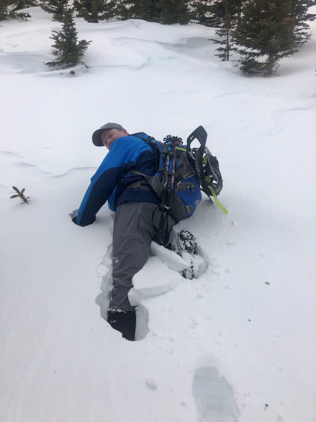
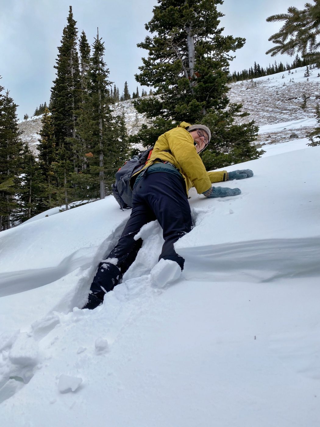
- on this day, it was challenging due to wind drifted snow along certain parts of the trail and especially just below the summit

Interesting notes:
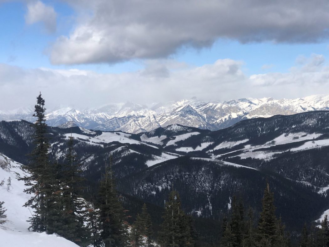
- the trail offers views of Moose Mountain, Hunchback Hills, and the Kananaskis range of mountains
- from the summit, you can connect to the Jumpingpound Ridge trail, which makes for a long hike, so it would be best to leave vehicles at either end (this is only possible in the summer due to a winter road closure)
- you can also connect to the Lusk Pass trail that takes you down near Barrier Lake on Highway 40
- Cox Hill’s proper name is Cocks-comb Hill, named after its fringe of a summit rock by surveyor A.O. Wheeler who climbed it in 1895
- the Stoney’s have their own name, which is Zotha Odabi Baha or ‘many marmots hill’


