April 5, 2022
In
Outdoor Edventures
Boulder Fields Hike
Where:
- Boulder Fields
When:
- April 5, 2022
Who:
- Ed, Sheldon, Dallas
Trailhead:
- head up Chute Lake Road and continue onto Gillard Forest Service Road (make sure you turn left before entering the quarry)
- turn left at 8.8 km which is part of the Kettle Valley Railroad trail and park at the upper parking area at 10.6 km, or drive down to the main lower parking area (which is about a km down the road)
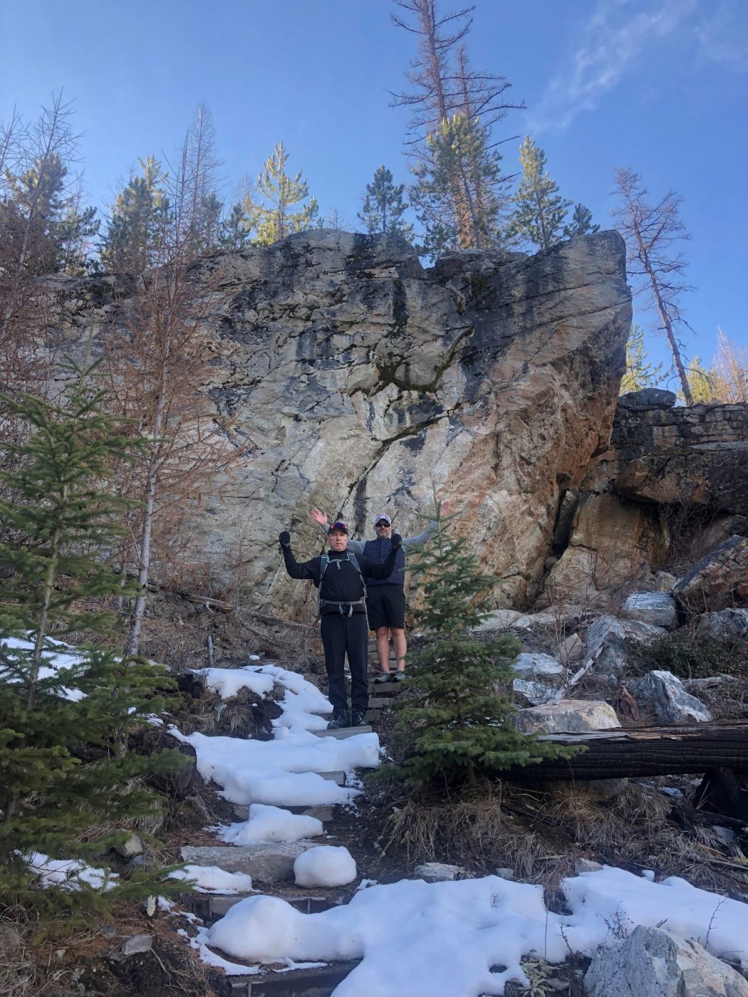
- we decided to walk down to the lower parking lot as my Honda CRV would have got stuck in the snow
- the trail to the Boulders climbing area starts at the far end of the parking lot

Degree of difficulty:
- 230 meters of elevation gain if you hike down to the bottom of the boulders
- 6.4 km of trails if you do all the various segments within the boulders climbing area
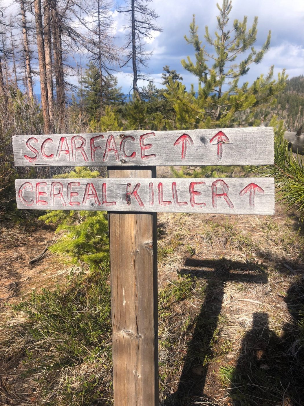
- in the higher up regions of the Boulderfields, the trails are distinct, and there is less talus making it relatively easy to navigate, but they are all well marked
- the hike took us about an hour and a half but it can be anywhere from five minutes if you walk to the edge of the region to much longer if you take your time strolling around the area

Interesting notes:
- located on the edge of Myra-Bellevue Provincial Park at 4000 feet of elevation
- the trail name comes from the field of boulders (one square km in area)
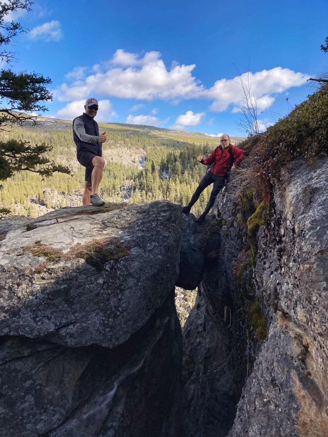
- huge area with hard solid rocks that pile up over each other
- geologically unique landmark because it is widely believed that the boulders resulted from the major rock collapsing below
- by far the best bouldering available in the country (50 bouldering areas with over 1000 lines)
- easily one of Kelowna’s best kept secrets and a really unique site
- it can be a tricky drive with narrow roads and especially at this time of year as my vehicle barely made it through the snow ruts
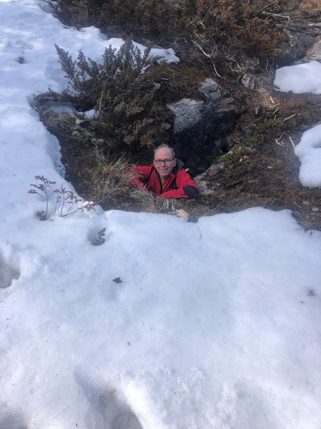
- the Boulder Fields are an awesome place to explore with many crevasses and cave structures
- there is a campground at the trailhead


