November 9, 2024
In
Outdoor Edventures
Mt. Hoffman Hike
Where:
- Mt. Hoffman
When:
- November 9, 2024
Who:
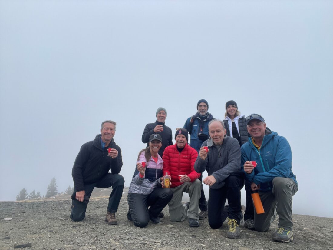
- Ed, Dave, Kellie, Erin, Oak, Neil, Roger, Rick
Trailhead:
- Indian Oils parking lot
- 35 km (30 minutes) west of Turner Valley on Highway 546 on the left (south) side of the road
- at the parking lot, head down the hill away from the Highway, and follow it to the right
- cross the bridge above Tiger Jaw Falls and then turn left (east) onto the Sheep Trail for 2 km, then turn right onto the Mt. Hoffman trail that leads to the summit
- the trail is well marked with signs at all the turns

Degree of difficulty:
- 500 meters
- 9.3 km round trip
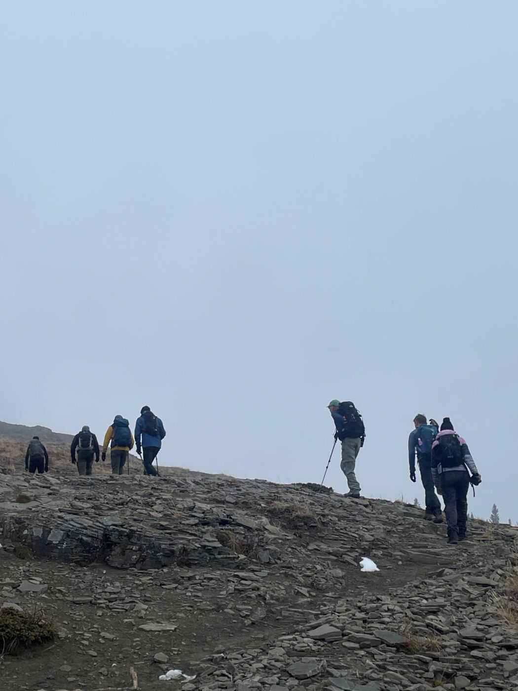
- the trail is wide and flat until you turn onto the Mt. Hoffman section, where it is a steady ascent for 500-600 meters
- when you break out into the meadow, you will see the summit straight ahead
- the hike took us just under 3 hours, with a side diversion to a lookout point near the top

Interesting notes:
- this was our first time doing this trail
- there is a nice view of Tiger Jaw Falls at the first bridge and the twisted remains of a 100 year old iron bridge
- there are lots of interesting trees at the top of the ascent in the forest
- the 360 views above the treeline are spectacular, although the thick cloud obscured our view on this day
- Mt. Hoffman is a miniature version of all the other mountains in the area
- the area is surrounded by Shunga-la-she, Jagermeister, Gibraltar, Mount Burke, and Bluerock Mountains
- Mt. Hoffman is named for Christian Hoffmann, a chemist, mineralogist and member of the Geological Survey of Canada
- the peak was first ascended and named by Arthur O. Wheeler, who worked with Hoffmann and considered him a friend


