October 27, 2024
In
Outdoor Edventures
Memorial Lakes Hike
Where:
- Memorial Lakes
When:
- October 26, 2024
Who:
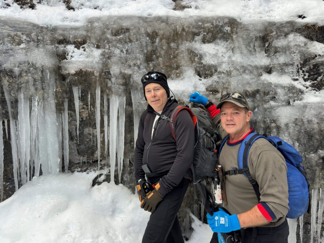
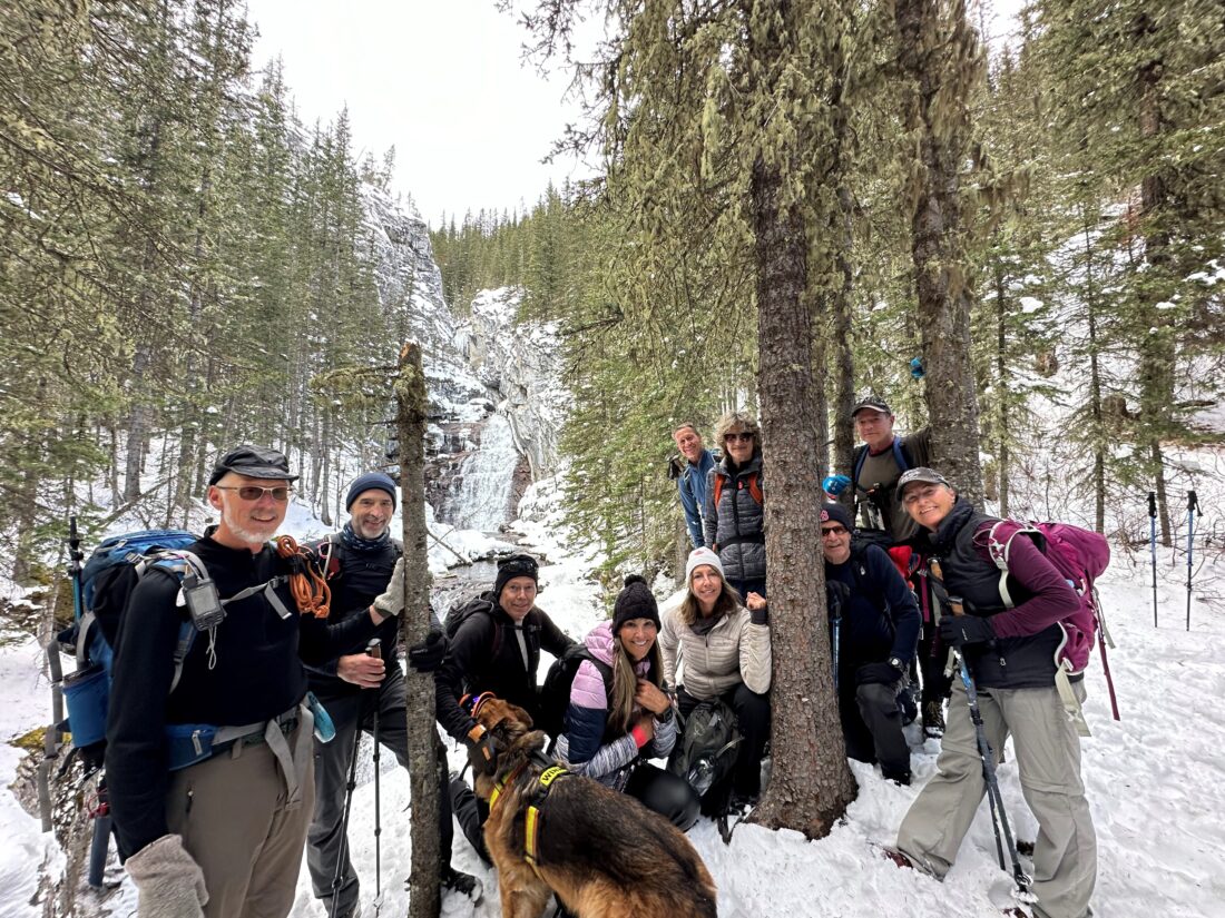
- Ed, Craig, Oak, Rod, Neil, Erin, Kellie, Chris, Winnie, Roger, Colleen, Lisa, Kim, Kuma
Trailhead:
- from the Trans Canada heading west towards Canmore, take Highway 40 south for 25 km
- take the right-hand turn for Nakiska Mountain Resort, take the first left at Centennial Drive, and then a quick right onto Ribbon Creek Road
- the trail starts out of the far end of the parking area at the sign that says Ribbon Creek Trail

Degree of difficulty:
- 500 meters of elevation gain to the first lake, 600 meters to the second lake, and 825 meters to the upper lake
- 19 km return to the first lake, 21 km to the second lake, and 23 km to the third lake
- at 3.7 km, there is a sign that points straight ahead to Memorial Lakes
- after several km and two bridges, when you reach a gorge, take the steep climb up the right (north) edge of the gorge
- at the top of the gorge, the trail flattens out and you are soon at the first lake
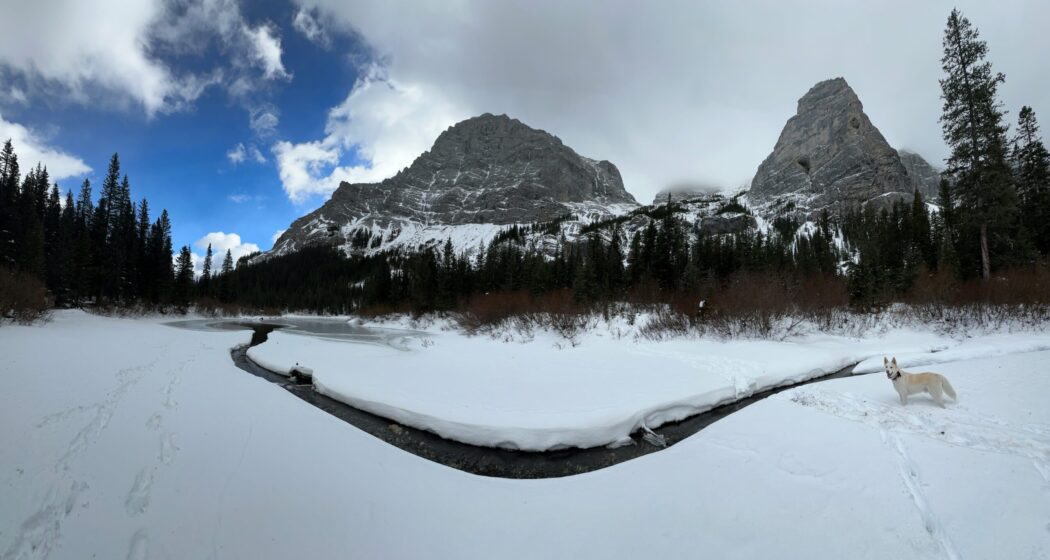
- to get to the second lake go to the end of the first lake and look for flagging tape in the thick willows
- make your way through the willows, cross an inlet stream, and turn right then steeply up the rocks to the left of the inlet stream
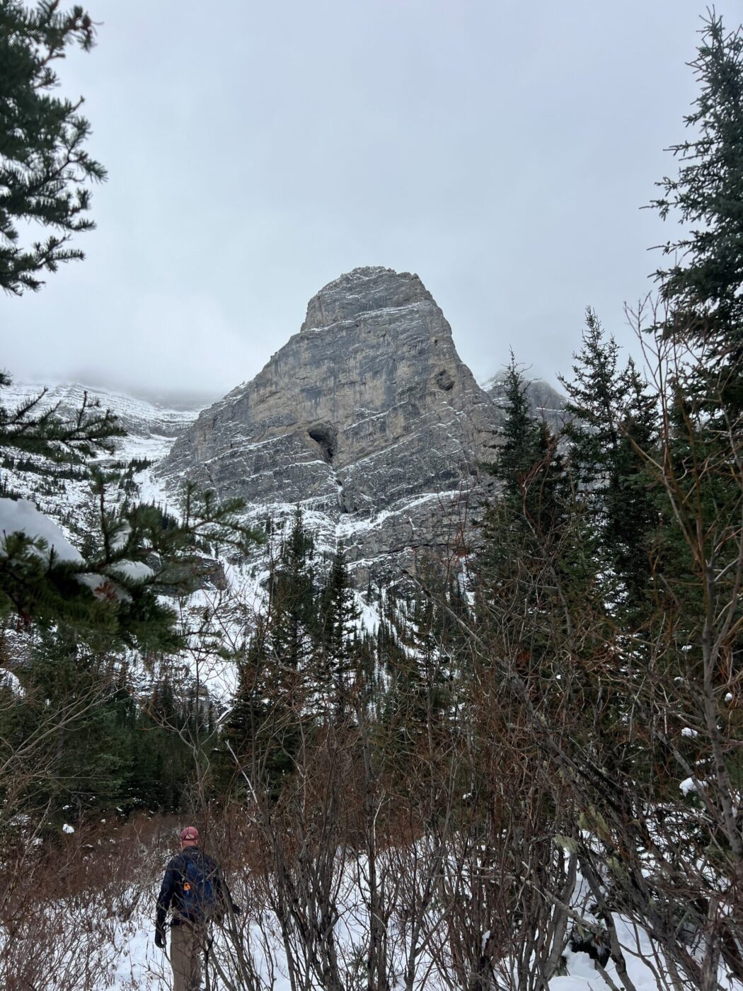
- from here you cross a rockslide at the base of Bogart Tower and follow the cairns to the second lake
- the hike to the third lake involves a scramble or a walk along a narrow ridge
- the hike took us 5 hours

Interesting notes:
- the lakes are named for the three separate plane crashes in 1986 that killed 13 people, including two search and rescue planes
- there is a memorial cairn at the third lake
- the area is surrounded by Mount Kidd, Mount Bogart, Centennial Ridge, and Wind Mountain
- the parking lot was once the site of a logging and coal mining town called Kovach
- we were the only people on the Memorial Lakes portion of the trail
- you can ride your bike for the first 3.7 km until you reach the turn for Memorial Lakes


