April 13, 2022
In
Outdoor Edventures
McGillivray Canyon Hike
Where:
- McGillivray Canyon
When:
- April 12, 2022
Who:
- Ed, Geoff
Trailhead:
- the unmarked parking lot is a km east of Dead Man’s Flat and before Lac Des Arcs on the Trans Canada Highway
- the parking lot is on the right-hand side as you are heading east
- the trail starts on the south side of the parking lot (away from the highway)
- after about 200 meters, you will come to the Great Trail (formerly TransCanada Trail) where you turn right (west)
- proceed for another 200 meters to an Alberta Wildlife Provincial Park Boundary sign, and then turn onto a trail that is just past the sign on the left between two blue ribbons

Degree of difficulty:
- 4 km distance
- we were on the trail for 1.5 hours
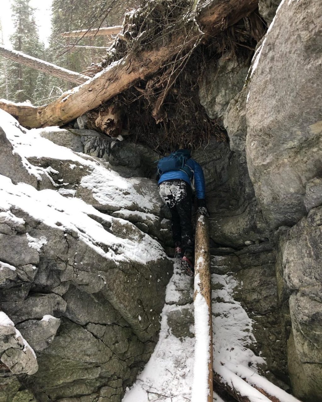
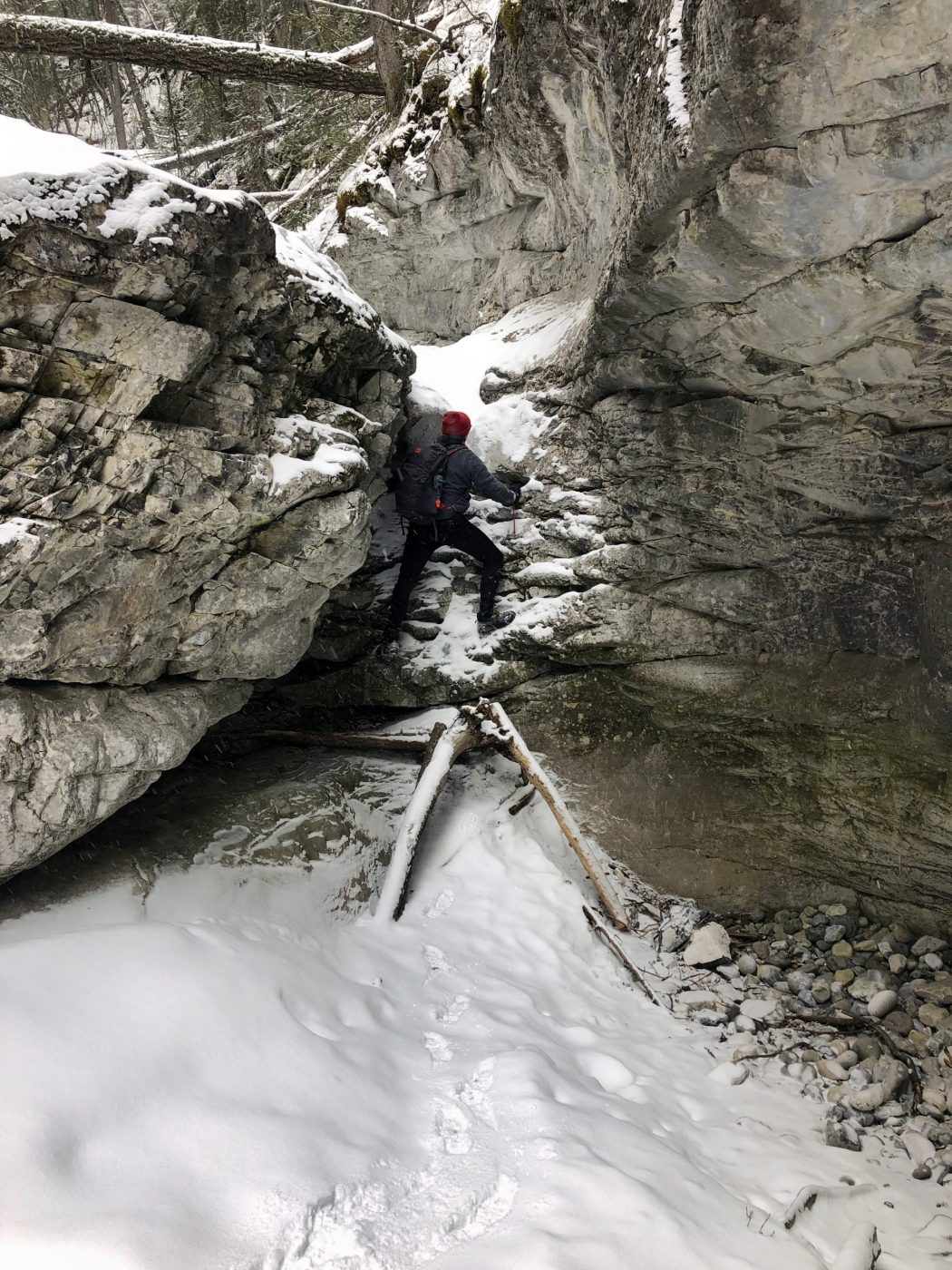
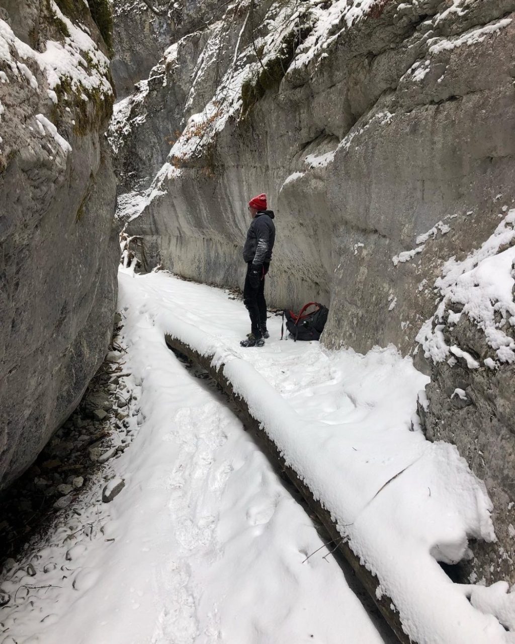
- there is no elevation if you go up the creek, but this route is somewhat impassable
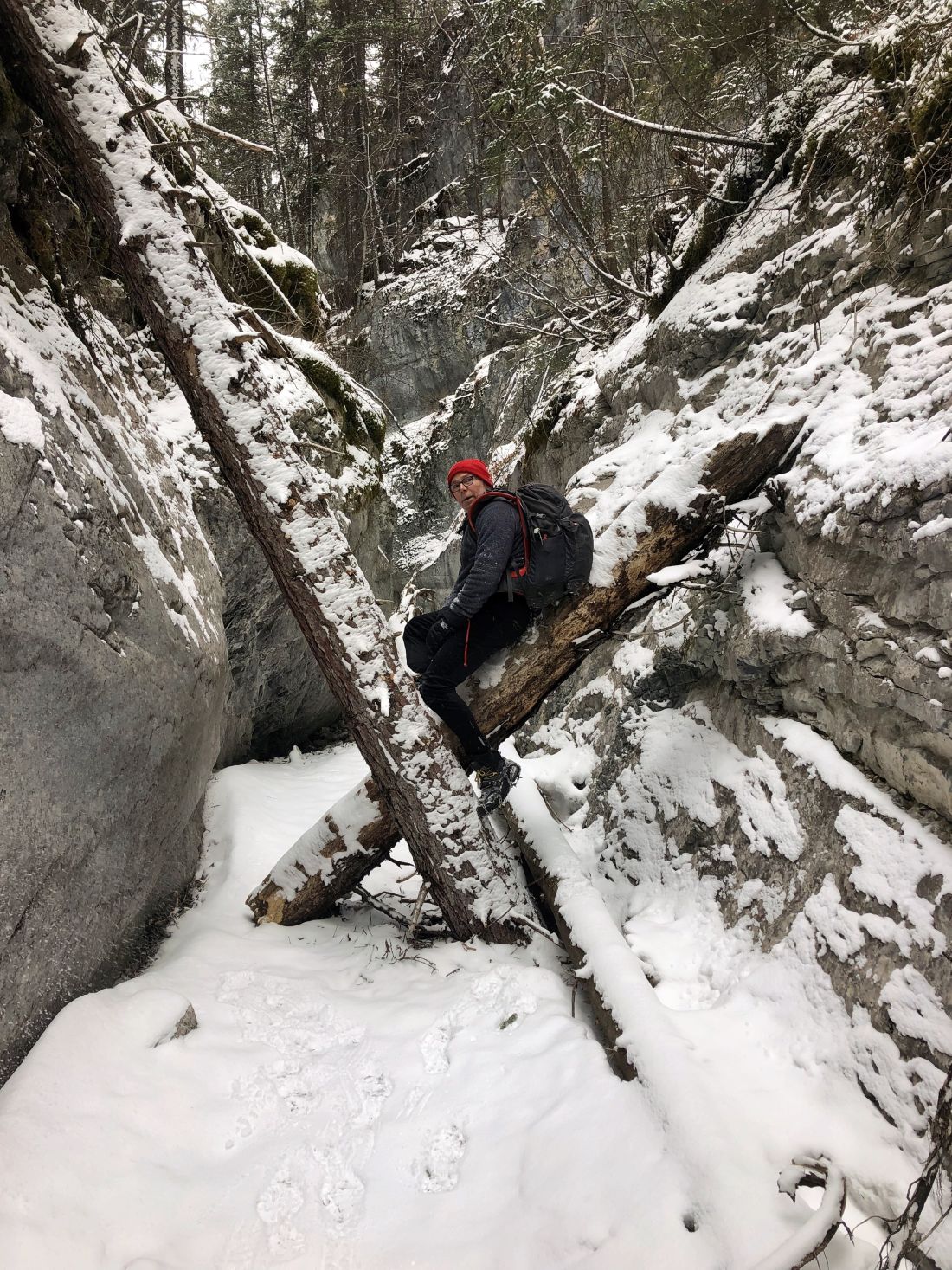
- we took the upper trail, which is about 200 meters, and then bushwacked our way down into the canyon
- once we finally got into the canyon, we ascended a couple of icefalls, but then they became too challenging
- we tried to walk out the canyon, but we got to a dangerous 10 foot icefall, so we had to turn back and bushwack our way up out of the canyon to the upper trail
- spikes were a must on this day

Interesting notes:
- I wouldn’t recommend this hike as it has become more challenging to get up the creek since they took out the ropes and ladders
- if you can get to the end of the canyon, you are rewarded with a view of the massive chockstone stuck between the canyon walls
- Pigeon Peak borders the creek/canyon to the west
- the canyon walls have been carved into unique shapes
- Mount McGillivray was named for Duncan McGillivray, who was one of the first white men, along with David Thompson, to see the Bow Valley


